Land cover and Environmental-Economic Accounting: An International Library for Land Cover Legends

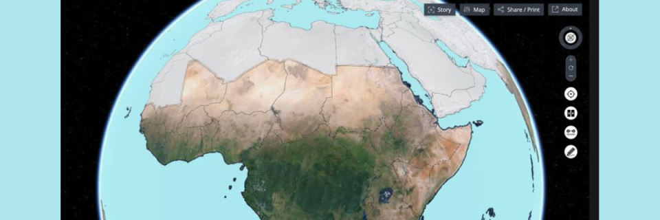
Land cover refers to the observed biophysical cover of the earth’s surface. Land cover provides a mean to assess landscape patterns and characteristics that are crucial for understanding environmental and ecological accounting. This includes 1) the extent conditions and availability of land; 2) the extent, conditions, and structure of ecological systems; and 3) the potential for dispersion and effects of chemicals and other pollutants in and on the environment. In addition, land cover is a starting point from which a variety of monitoring activities can be performed. For example, under the United Nations initiative on Global Geospatial Information Management (UN-GGIM), the theme on land cover and land use is one of the 14 global fundamental geospatial data themes. In the context of Sustainable Development Goals (SDGs), land cover is one critical data input for many indicators, specifically for climate actions SDG13 and life on land SDG15. Moreover, it is important to address the requirements of major multilateral environmental agreements i.e., UNFCCC, UNCBD, UNCCD, and the UN forum on Forest, and international communities and countries concerned.
With the advent of geospatial technologies (I.e., high resolution satellites, drones, cloud computing platforms and tools, machine learning techniques), monitoring of natural resources becomes more efficient and accessible than before. However, several challenges persist. Collecting, coordinating, integrating, and using data from different scales and sources, and using different classification systems, pose significant challenges in tracking trends. During the past 20 years, the Food and Agriculture Organization of the United Nations (FAO) has been developing international standards for land cover with the objective to overcome several of these challenges an support sustainable development overall, including environmental accounting. In 2004, FAO initiated the 19144 standard series (ISO TC211) and started with the submission of two joint standards on Land Cover Classification Systems (ISO 19144-1) and Land Cover Meta Language (ISO 19144-2). The LCML contain lists of basic elements, properties, characteristics, and provides a common reference structure, that does not replace any existing classification systems. Its application solves various problems related to documentation, consistency, interoperability, comparability and quality of land cover data. Various national, regional and international organizations followed LCML when developing land cover. After years of applications, in 2022, FAO has established an international land cover legend registry (“Land Cover Legend Registry”). It follows ISO 19135 and records numerous international data sets. In parallel, FAO and ISO established the ISO TC211 Advisory Group 13 on Land Cover and Land Use. It aims at ensuring that the ISO/TC 211 LC and LU initiative and evolving standards are brought to the attention and discussed with other UN agencies involved with the SDG’s and those agencies’ which utilize LC and LU indicators and also report, in a reciprocal way, with the broader UN-GGIM framework. The group advises TC 211 on the issues related to LC and LU, which supports sustainable development, food security, disaster risk management application and operation by UN Agencies and other end users. This includes the use of LC and LU for Environmental Accounting. In this regard, the ISO TC211 AG13 will document use cases on land cover for Environmental Accounting and support the SEEA process.
Link to article: https://www.mdpi.com/2073-445X/11/7/1083/html
Link to document: https://www.fao.org/3/cb5130en/cb5130en.pdf
Link to ISO TC211 AG 13: https://committee.iso.org/sites/tc211/home/about/advisory-groups.html
Link to FAO NSL Geospatial Unit: https://www.fao.org/geospatial/en/
